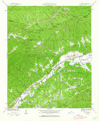
1938 Map of Marble
USGS Topo · Published 1964About this map
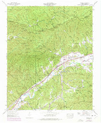
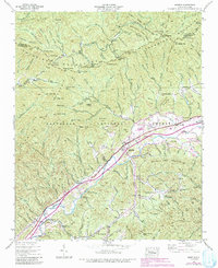
Marble and the surrounding valley settlements in Cherokee County appear here in a 1938 survey, revealing the close relationship between the Southern Railway and the local economy. The rail line follows the valley floor, connecting nodes like Terrazzo Switch, Coalville, and Woodville as it skirts the Nantahala National Forest. This era shows a landscape where community life was anchored by small institutions like the Oak Grove Sch and churches such as Fairview Ch and Mt Zion Ch.
Find a feature on this map
130 named features on this map. Tap any name to fly to it.
Don’t see what you’re looking for? This feature index may not catch every label — zoom into the map to look around manually.
Map Details
Editions of this 1938 Marble Map
6 editions found
Other maps of this area

1893 · Murphy
USGS Topo · 1:125,000

1914 · Murphy
USGS Topo · 1:125,000

1927 · Big Junction
USGS Topo · 1:24,000

1933 · Haw Knob
USGS Topo · 1:48,000

1934 · Murphy
USGS Topo · 1:24,000

1934 · McDaniel Bald
USGS Topo · 1:24,000

1934 · Murphy
USGS Topo · 1:48,000

1935 · Peachtree
USGS Topo · 1:24,000

1935 · Robbinsville
USGS Topo · 1:24,000

1935 · Marble
USGS Topo · 1:24,000