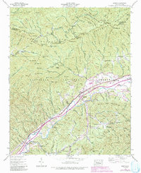
1938 Map of Marble
USGS Topo · Published 1991About this map
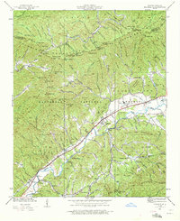
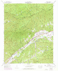
Marble serves as the focal point of this topographic study, situated along the Southern Railroad where industrial infrastructure like the Terrazzo Switch and various tanks suggest a landscape defined by transit and resource extraction. The valley floor is dotted with small communities and family-named landmarks, including Woodville, Coalville, and the settlement at Tomotla. This 1938 survey, updated with late-20th-century aerial data, preserves the locations of vital community institutions such as Slow Creek Sch, Vengeance Creek Ch, and Mt Zion Ch.
Find a feature on this map
134 named features on this map. Tap any name to fly to it.
Don’t see what you’re looking for? This feature index may not catch every label — zoom into the map to look around manually.
Map Details
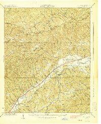
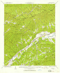
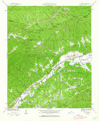
Editions of this 1938 Marble Map
6 editions found
Other maps of this area

1893 · Murphy
USGS Topo · 1:125,000

1914 · Murphy
USGS Topo · 1:125,000

1927 · Big Junction
USGS Topo · 1:24,000

1933 · Haw Knob
USGS Topo · 1:48,000

1934 · Murphy
USGS Topo · 1:24,000

1934 · McDaniel Bald
USGS Topo · 1:24,000

1934 · Murphy
USGS Topo · 1:48,000

1935 · Peachtree
USGS Topo · 1:24,000

1935 · Robbinsville
USGS Topo · 1:24,000

1935 · Marble
USGS Topo · 1:24,000