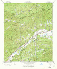
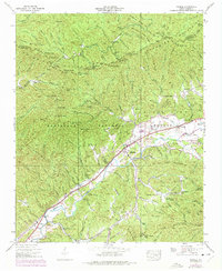
1938 Map of Marble
USGS Topo · Published 1972About this map
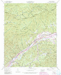
The Valley River corridor serves as the primary artery for settlement and industry in this 1938 survey, where the Southern Railway links the communities of Marble and Tomotla. This region of the Nantahala National Forest is defined by sharp topographic contrasts, from the high peaks of the Snowbird Mountains in the north to the bottomlands near Woodville. The presence of the Terrazzo Switch and Coalville suggests the localized importance of rail-dependent industry and transit within the valley.
Find a feature on this map
139 named features on this map. Tap any name to fly to it.
Don’t see what you’re looking for? This feature index may not catch every label — zoom into the map to look around manually.
Map Details
Editions of this 1938 Marble Map
6 editions found
Other maps of this area

1893 · Murphy
USGS Topo · 1:125,000

1914 · Murphy
USGS Topo · 1:125,000

1927 · Big Junction
USGS Topo · 1:24,000

1933 · Haw Knob
USGS Topo · 1:48,000

1934 · Murphy
USGS Topo · 1:24,000

1934 · McDaniel Bald
USGS Topo · 1:24,000

1934 · Murphy
USGS Topo · 1:48,000

1935 · Peachtree
USGS Topo · 1:24,000

1935 · Robbinsville
USGS Topo · 1:24,000

1935 · Marble
USGS Topo · 1:24,000