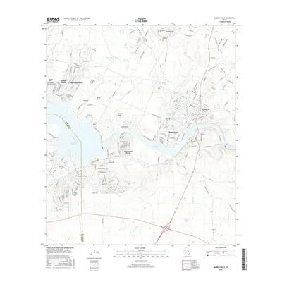
2016 Map of Marble Falls
USGS Topo · Published 2016About this map
The Colorado River carves a central path through this Hill Country landscape, defining the interconnected waters of Lake Lyndon B Johnson, Lake Marble Falls, and the northern reach of Lake Travis. In Marble Falls, the grid of the city center sits just east of the prominent Granite Mtn, while residential growth extends into lakeside communities like Meadowlakes, Cottonwood Shores, and Horseshoe Bay. The topography is marked by distinctive outcroppings such as School Rock and Kennison Rock, alongside several small family and community burial sites including Fox Cem and Slaughter Ranch Cem. This survey illustrates the modern transition of the area from a series of ranching and granite-quarrying hubs into a major recreational and residential corridor along the river's chain of lakes.
Find a feature on this map
97 named features on this map. Tap any name to fly to it.
Don’t see what you’re looking for? This feature index may not catch every label — zoom into the map to look around manually.
Map Details
Editions of this 2016 Marble Falls Map
This is the sole edition of this map. No revisions or reprints were ever made.
Other maps of this area

1887 · Blanco
USGS Topo · 1:125,000

1887 · Burnet
USGS Topo · 1:125,000

1893 · Burnet
USGS Topo · 1:125,000

1894 · Blanco
USGS Topo · 1:125,000

1903 · Burnet
USGS Topo · 1:125,000

1909 · Burnet
USGS Topo · 1:125,000

1925 · Burnet 3-b
USGS Topo · 1:48,000

1925 · Burnet 3-d
USGS Topo · 1:48,000

1929 · Marble Falls
USGS Topo · 1:62,500

1931 · Marble Falls
USGS Topo · 1:48,000