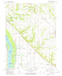
1971 Map of Marblehead
USGS Topo · Published 1973About this map
The Mississippi River defines the western edge of this 1970s landscape, where the alluvial bottoms of the Levee district meet the rising bluffs of Adams County. Significant industrial and transit footprints are evident along the Burlington Northern railroad, which skirts the base of the hills through Marblehead and Harkness. The map documents a sophisticated water management system designed to protect these fertile lowlands, featuring the Austin Creek Settling Basin, the Fall Creek Settling Basin, and the Old Sny Public Use Area.
Find a feature on this map
54 named features on this map. Tap any name to fly to it.
Don’t see what you’re looking for? This feature index may not catch every label — zoom into the map to look around manually.
Map Details
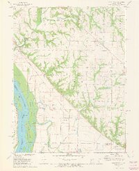
Editions of this 1971 Marblehead Map
2 editions found
Other maps of this area

1925 · Quincy
USGS Topo · 1:62,500

1925 · Liberty
USGS Topo · 1:62,500

1927 · Liberty
USGS Topo · 1:62,500

1931 · Barry
USGS Topo · 1:62,500

1932 · Hannibal
USGS Topo · 1:62,500

1936 · Hannibal
USGS Topo · 1:48,000

1936 · Barry
USGS Topo · 1:48,000

1944 · Barry
USGS Topo · 1:62,500

1944 · Quincy
USGS Topo · 1:62,500

1945 · Hannibal
USGS Topo · 1:62,500