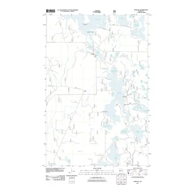
2011 Map of Marcell
USGS Topo · Published 2011About this map
The settlement of Marcell serves as the central hub of this northern lake-country landscape, where the Marcell Post Office and local road network converge near Ranier Lake. To the west, the village of Alder is situated along Potato Creek, illustrating a pattern of small community clusters interspersed among the region's dense hydrography. The area is defined by its extensive water bodies, including the large Turtle Lake in the north and the complex shoreline of North Star Lake, which features Wildcat Island.
Find a feature on this map
63 named features on this map. Tap any name to fly to it.
Don’t see what you’re looking for? This feature index may not catch every label — zoom into the map to look around manually.
Map Details
Editions of this 2011 Marcell Map
This is the sole edition of this map. No revisions or reprints were ever made.
Other maps of this area

1919 · Marcell
USGS Topo · 1:62,500

1954 · Hibbing
USGS Topo · 1:250,000

1957 · Hibbing
USGS Topo · 1:250,000

1958 · Hibbing
USGS Topo · 1:250,000

1964 · Hibbing
USGS Topo · 1:250,000

1970 · Deer River NE
USGS Topo · 1:24,000

1970 · Wabana Lake
USGS Topo · 1:24,000

1970 · Clubhouse Lake
USGS Topo · 1:24,000

1970 · Jessie Lake
USGS Topo · 1:24,000

1970 · Coon Lake
USGS Topo · 1:24,000