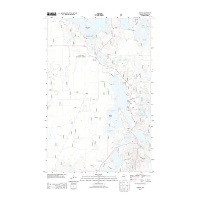
2013 Map of Marcell
USGS Topo · Published 2013About this map
Marcell serves as the central hub of this northern Minnesota landscape, situated where Co Hwy 45 meets the edge of Ranier Lake. This area is characterized by an intricate network of glacial lakes and waterways, including the winding Turtle River and Potato Cr, which navigate the dense timber of the Chippewa National Forest. The settlement pattern follows the lake shores and forest roads, with the small community of Alder and the Suomi Cem providing markers of local history and lineage. Recreation and timber management define the modern era here, evidenced by landmarks such as the North Star Campground and the Trestle Landing Boat Ramp on North Star Lake. The map details many named landforms like Government Point and Mackenzie Island, reflecting a geography where water and land are inextricably linked.
Find a feature on this map
68 named features on this map. Tap any name to fly to it.
Don’t see what you’re looking for? This feature index may not catch every label — zoom into the map to look around manually.
Map Details
Editions of this 2013 Marcell Map
This is the sole edition of this map. No revisions or reprints were ever made.
Other maps of this area

1919 · Marcell
USGS Topo · 1:62,500

1954 · Hibbing
USGS Topo · 1:250,000

1957 · Hibbing
USGS Topo · 1:250,000

1958 · Hibbing
USGS Topo · 1:250,000

1964 · Hibbing
USGS Topo · 1:250,000

1970 · Deer River NE
USGS Topo · 1:24,000

1970 · Wabana Lake
USGS Topo · 1:24,000

1970 · Clubhouse Lake
USGS Topo · 1:24,000

1970 · Jessie Lake
USGS Topo · 1:24,000

1970 · Coon Lake
USGS Topo · 1:24,000