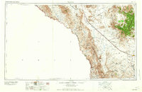
1965 Map of Marfa
USGS Topo · Published 1965About this map
The Rio Grande serves as the international boundary on this mid-century survey, defining the southwestern edge of the Texas Trans-Pecos. The landscape is dominated by the high peaks of the Davis Mountains, including Mount Locke and Mount Livermore. Below these summits, the Texas and New Orleans railroad corridor dictates the placement of towns and sidings, including Valentine and Marfa.
Find a feature on this map
65 named features on this map. Tap any name to fly to it.
Don’t see what you’re looking for? This feature index may not catch every label — zoom into the map to look around manually.
Map Details
Editions of this 1965 Marfa Map
This is the sole edition of this map. No revisions or reprints were ever made.
Other maps of this area
1892 · Chispa
USGS Topo · 1:125,000
1894 · Fort Hancock
USGS Topo · 1:125,000
1894 · Valentine
USGS Topo · 1:125,000
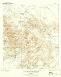
1894 · Fort Davis
USGS Topo · 1:125,000
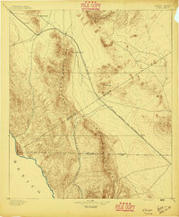
1895 · Chispa
USGS Topo · 1:125,000
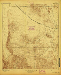
1895 · Marfa
USGS Topo · 1:125,000
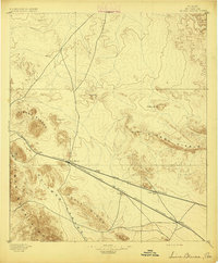
1895 · Sierra Blanca
USGS Topo · 1:125,000
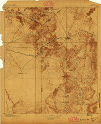
1895 · Alpine
USGS Topo · 1:125,000
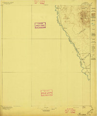
1896 · Ruidosa
USGS Topo · 1:125,000
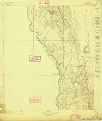
1896 · San Carlos
USGS Topo · 1:125,000