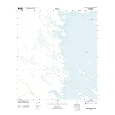
2013 Map of Maria Estella Well
USGS Topo · Published 2013About this map
Old Tajos Ranch sits at the heart of this coastal Kenedy County landscape, where the flat Texas brushland meets the complex hydrology of the Gulf Coast. The terrain is defined by a vast network of shallow lagoons and salt flats, punctuated by small landforms like the Calabazas Islands and the Tres Marias to the east. This 2013 survey illustrates the isolated nature of the South Texas ranching country, where infrastructure is sparse and centered around essential water and mineral resources like the Maria Estella Well. The lack of dense settlement emphasizes the region's historical reliance on large-scale ranching operations and localized resource extraction within a fragile maritime ecosystem.
Find a feature on this map
4 named features on this map. Tap any name to fly to it.
Don’t see what you’re looking for? This feature index may not catch every label — zoom into the map to look around manually.
Map Details
Editions of this 2013 Maria Estella Well Map
This is the sole edition of this map. No revisions or reprints were ever made.
Other maps of this area

1923 · Lopena Island
USGS Topo · 1:62,500

1923 · Saltillo Ranch
USGS Topo · 1:62,500

1928 · Sarita
USGS Topo · 1:125,000

1950 · Corpus Christi
USGS Topo · 1:250,000

1951 · Potrero Lopeno NW
USGS Topo · 1:24,000

1952 · Potrero Cortado
USGS Topo · 1:24,000

1952 · Sarita 4 SE
USGS Topo · 1:24,000

1952 · Potrero Lopeno SW
USGS Topo · 1:24,000

1952 · Potrero Lopeno
USGS Topo · 1:62,500

1953 · Brownsville
USGS Topo · 1:250,000