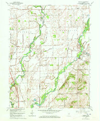
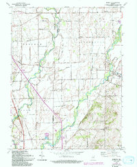
1962 Map of Marietta
USGS Topo · Published 1964About this map
The Big Blue River and Sugar Creek converge across a landscape of agriculture and military infrastructure in this early 1960s survey. To the southwest, the boundary of the Camp Atterbury Military Reservation dominates the terrain, featuring a pumphouse and water tank near the Pennsylvania railroad line. Small rural settlements like Bengal, Marietta, and Mt Auburn serve as local hubs, connected by a network of sectional roads such as North Road and South Road.
Find a feature on this map
30 named features on this map. Tap any name to fly to it.
Don’t see what you’re looking for? This feature index may not catch every label — zoom into the map to look around manually.
Map Details
Editions of this 1962 Marietta Map
5 editions found
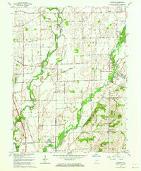
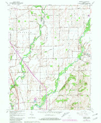
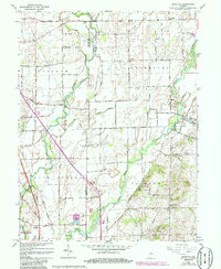
Other maps of this area

1942 · Franklin
USGS Topo · 1:125,000

1942 · Columbus
USGS Topo · 1:125,000

1947 · Franklin
USGS Topo · 1:62,500

1947 · Hope
USGS Topo · 1:24,000

1948 · Franklin
USGS Topo · 1:24,000

1948 · Edinburg
USGS Topo · 1:24,000

1948 · Hope
USGS Topo · 1:24,000

1948 · Nineveh
USGS Topo · 1:24,000

1948 · Lewis Creek
USGS Topo · 1:24,000

1948 · Marietta
USGS Topo · 1:24,000