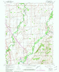
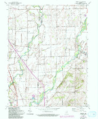
1962 Map of Marietta
USGS Topo · Published 1981About this map
The Big Blue River and Sugar Creek carve through this section of central Indiana, defining the rural landscape along the Johnson Co Shelby Co line. Small communities like Marietta and Mt Auburn serve as focal points for the surrounding agricultural grid, which is interspersed with family and community landmarks such as Smiley Cem and Blue River Ch. The southwestern corner is dominated by the Atterbury State Fish and Wildlife Area, where specialized infrastructure like a Pumphouse and Water Tank support the facility's operations.
Find a feature on this map
45 named features on this map. Tap any name to fly to it.
Don’t see what you’re looking for? This feature index may not catch every label — zoom into the map to look around manually.
Map Details
Editions of this 1962 Marietta Map
5 editions found
Other maps of this area

1942 · Franklin
USGS Topo · 1:125,000

1942 · Columbus
USGS Topo · 1:125,000

1947 · Franklin
USGS Topo · 1:62,500

1947 · Hope
USGS Topo · 1:24,000

1948 · Franklin
USGS Topo · 1:24,000

1948 · Edinburg
USGS Topo · 1:24,000

1948 · Hope
USGS Topo · 1:24,000

1948 · Nineveh
USGS Topo · 1:24,000

1948 · Lewis Creek
USGS Topo · 1:24,000

1948 · Marietta
USGS Topo · 1:24,000