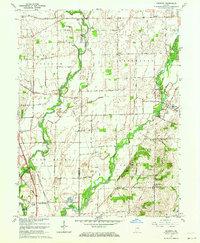
1962 Map of Marietta
USGS Topo · Published 1973About this map
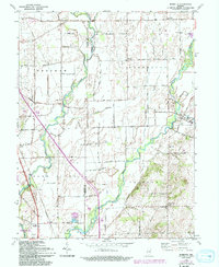
The Big Blue River and Sugar Creek converge across the fertile agricultural plains of the Johnson and Shelby County border in this mid-century portrait of central Indiana. Small rural communities like Bengal, Marietta, and Jollity anchor the landscape, while the Pennsylvania railroad line cuts through the southwest corner near the edge of the Camp Atterbury Military Reservation. This era shows a transition in local infrastructure, documented by the presence of a Pipeline and an Aqueduct crossing the river bottoms. For genealogists, the map is particularly detailed regarding local burial sites and education, identifying the Smiley Cem, Brockman Cem, and the Township Sch. The presence of several Gravel Pits and a Pumphouse near the rail line reflects the local industrial and utility needs serving these small farming settlements.
Find a feature on this map
29 named features on this map. Tap any name to fly to it.
Don’t see what you’re looking for? This feature index may not catch every label — zoom into the map to look around manually.
Map Details
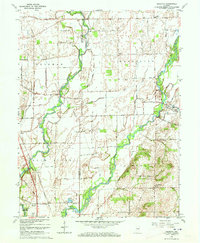
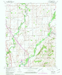
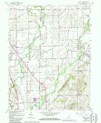
Editions of this 1962 Marietta Map
5 editions found
Other maps of this area

1942 · Franklin
USGS Topo · 1:125,000

1942 · Columbus
USGS Topo · 1:125,000

1947 · Franklin
USGS Topo · 1:62,500

1947 · Hope
USGS Topo · 1:24,000

1948 · Franklin
USGS Topo · 1:24,000

1948 · Edinburg
USGS Topo · 1:24,000

1948 · Hope
USGS Topo · 1:24,000

1948 · Nineveh
USGS Topo · 1:24,000

1948 · Lewis Creek
USGS Topo · 1:24,000

1948 · Marietta
USGS Topo · 1:24,000