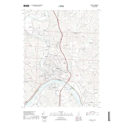
2019 Map of Marietta
USGS Topo · Published 2019About this map
Marietta and Williamstown anchor this riverfront survey, where the Ohio River meets the Muskingum River at a historic confluence. The landscape is defined by its deep cultural layers, ranging from the ancient earthworks of Conus Mound to the established campuses of Marietta College and Marietta Bible College. Along the northern reaches of the Muskingum, the river winds past the riverside communities of Devola and Rainbow, while the eastern terrain is broken by the valleys of Duck Creek and the Little Muskingum River.
Find a feature on this map
198 named features on this map. Tap any name to fly to it.
Don’t see what you’re looking for? This feature index may not catch every label — zoom into the map to look around manually.
Map Details
Editions of this 2019 Marietta Map
This is the sole edition of this map. No revisions or reprints were ever made.
Other maps of this area
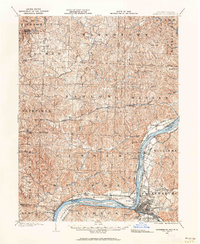
1902 · Parkersburg
USGS Topo · 1:62,500
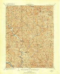
1903 · Macksburg
USGS Topo · 1:62,500
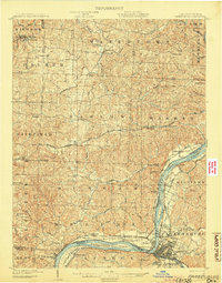
1904 · Parkersburg
USGS Topo · 1:62,500

1904 · Marietta
USGS Topo · 1:62,500
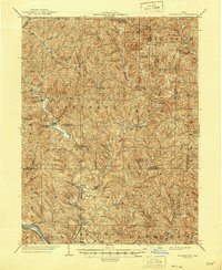
1905 · Macksburg
USGS Topo · 1:62,500
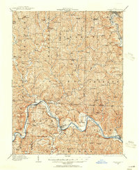
1909 · Caldwell
USGS Topo · 1:62,500
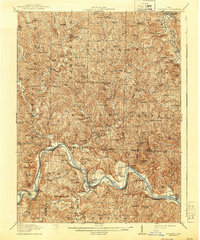
1912 · Caldwell
USGS Topo · 1:62,500
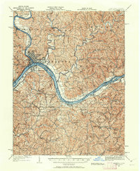
1924 · Marietta
USGS Topo · 1:62,500
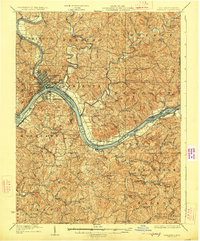
1927 · Marietta
USGS Topo · 1:62,500

1949 · Clarksburg
USGS Topo · 1:250,000