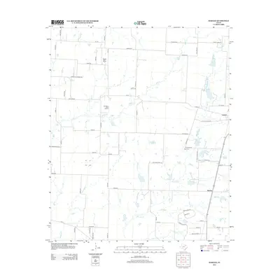
2013 Map of Marilee
USGS Topo · Published 2013About this map
The agrarian landscape of North Texas is clearly defined by the network of creeks and small aviation fields that punctuate the plains. Little Elm Cr and the Walnut Fork meander through the central terrain, while Buck Cr and Mustang Cr drain the northern and western reaches. The settlement of Gunter occupies the eastern edge of the map, situated near the Gunter Cem and the residential developments expanding south toward Marilee.
Find a feature on this map
68 named features on this map. Tap any name to fly to it.
Don’t see what you’re looking for? This feature index may not catch every label — zoom into the map to look around manually.
Map Details
Editions of this 2013 Marilee Map
This is the sole edition of this map. No revisions or reprints were ever made.
Other maps of this area

1901 · Denison
USGS Topo · 1:125,000

1954 · Sherman
USGS Topo · 1:250,000

1958 · Dorchester
USGS Topo · 1:24,000

1958 · Whitesboro
USGS Topo · 1:62,500

1958 · Sherman
USGS Topo · 1:250,000

1958 · Sherman
USGS Topo · 1:62,500

1960 · Celina
USGS Topo · 1:24,000

1960 · Aubrey
USGS Topo · 1:24,000

1961 · Gunter
USGS Topo · 1:24,000

1961 · Pilot Point
USGS Topo · 1:24,000