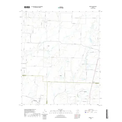
2019 Map of Marilee
USGS Topo · Published 2019About this map
The expanding northern edge of the Dallas-Fort Worth metroplex is documented here, where Grayson, Denton, and Collin Counties converge. The city of Celina occupies the southeastern portion of the sheet, balanced by Gunter in the center and the smaller settlement of Marilee to the east. This landscape is defined by the transition from rural agricultural tracts to modern residential development, though the drainage patterns of Little Elm Creek and Mustang Creek remain central to the topography.
Find a feature on this map
75 named features on this map. Tap any name to fly to it.
Don’t see what you’re looking for? This feature index may not catch every label — zoom into the map to look around manually.
Map Details
Editions of this 2019 Marilee Map
This is the sole edition of this map. No revisions or reprints were ever made.
Other maps of this area

1901 · Denison
USGS Topo · 1:125,000

1954 · Sherman
USGS Topo · 1:250,000

1958 · Dorchester
USGS Topo · 1:24,000

1958 · Whitesboro
USGS Topo · 1:62,500

1958 · Sherman
USGS Topo · 1:250,000

1958 · Sherman
USGS Topo · 1:62,500

1960 · Celina
USGS Topo · 1:24,000

1960 · Aubrey
USGS Topo · 1:24,000

1961 · Gunter
USGS Topo · 1:24,000

1961 · Pilot Point
USGS Topo · 1:24,000