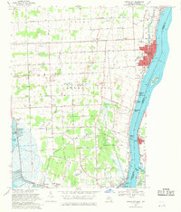
1968 Map of Marine City
USGS Topo · Published 1971About this map
The St Clair River corridor in the late 1960s was a landscape defined by its international waterway and an active energy industry. At Marine City, the confluence of the Belle River and the larger St. Clair is marked by dense residential development, the Holy Cross Ch, and various docks along the channel. To the west and south, the geography shifts toward specialized extraction, shown by the China Belle Oil and Gas Field and the Cottrellville Oil and Gas Field, indicating a rural economy built on more than just agriculture. The map also records the recreational and transit infrastructure of the era, from the sprawling riverside grounds of Algonac State Park to the Marine City Airport and the rail line of the Port Huron and Detroit RR serving the riverfront communities.
Find a feature on this map
72 named features on this map. Tap any name to fly to it.
Don’t see what you’re looking for? This feature index may not catch every label — zoom into the map to look around manually.
Map Details
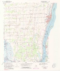
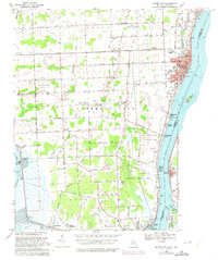
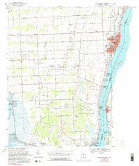
Editions of this 1968 Marine City Map
4 editions found
Other maps of this area

1912 · Port Huron
USGS Topo · 1:62,500

1914 · Algonac
USGS Topo · 1:62,500

1928 · Hicky
USGS Topo · 1:62,500

1929 · Port Huron
USGS Topo · 1:62,500

1936 · St. Clair
USGS Topo · 1:31,680

1936 · Rattle Run
USGS Topo · 1:31,680

1936 · New Baltimore
USGS Topo · 1:31,680

1936 · Algonac
USGS Topo · 1:31,680

1939 · New Baltimore
USGS Topo · 1:24,000

1939 · Adair
USGS Topo · 1:24,000