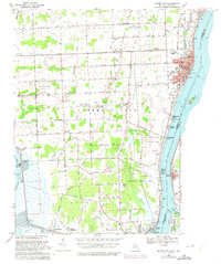
1968 Map of Marine City
USGS Topo · Published 1974About this map
The St Clair River corridor serves as a busy international boundary between Marine City and Algonac, Michigan, and the Canadian shoreline at Port Lambton. This late 1960s landscape is characterized by a mix of intensive riverfront development and the expansive China Belle Oil and Gas Field to the west. Local community life is anchored by institutions like the Ward-Cottrell High Sch and the Gleaners Hall, while the southern reaches show the early preservation of the Algonac State Park campgrounds.
Find a feature on this map
80 named features on this map. Tap any name to fly to it.
Don’t see what you’re looking for? This feature index may not catch every label — zoom into the map to look around manually.
Map Details
Editions of this 1968 Marine City Map
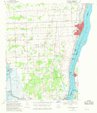
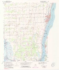
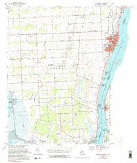
4 editions found
Other maps of this area

1912 · Port Huron
USGS Topo · 1:62,500

1914 · Algonac
USGS Topo · 1:62,500

1928 · Hicky
USGS Topo · 1:62,500

1929 · Port Huron
USGS Topo · 1:62,500

1936 · St. Clair
USGS Topo · 1:31,680

1936 · Rattle Run
USGS Topo · 1:31,680

1936 · New Baltimore
USGS Topo · 1:31,680

1936 · Algonac
USGS Topo · 1:31,680

1939 · New Baltimore
USGS Topo · 1:24,000

1939 · Adair
USGS Topo · 1:24,000