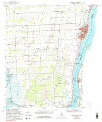
1968 Map of Marine City
USGS Topo · Published 1974About this map
The St Clair River serves as the dominant geographical and economic artery of this region, marking the international boundary between Michigan and Ontario. Along its banks, the industrial and maritime character of Marine City is evident, supported by the Port Huron and Detroit Railroad and facilities like the Waterworks and U S Customs station. Inland, the landscape is defined by the energy sector, featuring extensive operations such as the China Belle Oil and Gas Field and the Cottrellville Oil and Gas Field, interspersed with numerous individual Gas Wells.
Find a feature on this map
102 named features on this map. Tap any name to fly to it.
Don’t see what you’re looking for? This feature index may not catch every label — zoom into the map to look around manually.
Map Details
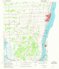
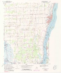
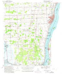
Editions of this 1968 Marine City Map
4 editions found
Other maps of this area

1912 · Port Huron
USGS Topo · 1:62,500

1914 · Algonac
USGS Topo · 1:62,500

1928 · Hicky
USGS Topo · 1:62,500

1929 · Port Huron
USGS Topo · 1:62,500

1936 · St. Clair
USGS Topo · 1:31,680

1936 · Rattle Run
USGS Topo · 1:31,680

1936 · New Baltimore
USGS Topo · 1:31,680

1936 · Algonac
USGS Topo · 1:31,680

1939 · New Baltimore
USGS Topo · 1:24,000

1939 · Adair
USGS Topo · 1:24,000