
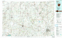
1986 Map of Marion
USGS Topo · Published 1986About this map
Kenton and Marion serve as central nodes in this mid-1980s landscape, where the agricultural grid of Northwest Ohio is intersected by a dense network of major railroads including Conrail and the Chesapeake and Ohio. The map documents a region defined by its educational institutions and managed natural spaces, featuring the campuses of Bluffton College, Ohio Northern University in Ada, and the Ohio State University (Marion Branch). Several large conservation areas, such as the Killdeer Plains State Wildlife Area and Wyandot Wildlife Area, provide a stark contrast to the surrounding township sections. Water systems like the Blanchard River and Scioto River weave through the terrain, supporting smaller settlements like Dunkirk, Patterson, and Alger while highlighting the drainage patterns of the Blanchard Township area.
Find a feature on this map
210 named features on this map. Tap any name to fly to it.
Don’t see what you’re looking for? This feature index may not catch every label — zoom into the map to look around manually.
Map Details
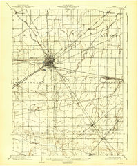
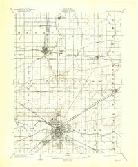
Editions of this 1986 Marion Map
2 editions found
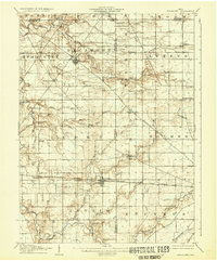
Other maps of this area

1901 · Fostoria
USGS Topo · 1:62,500
1903 · Fostoria
USGS Topo · 1:62,500
1903 · Findlay
USGS Topo · 1:62,500
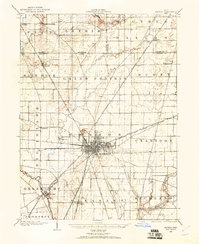
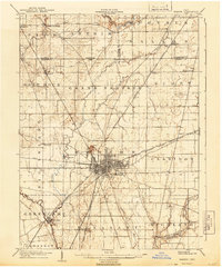
1903 · Marion
USGS Topo · 1:62,500
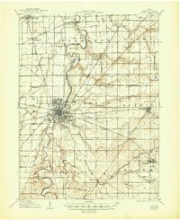
1905 · Marion
USGS Topo · 1:62,500

1905 · Arlington
USGS Topo · 1:62,500
1906 · Sycamore
USGS Topo · 1:62,500

1906 · Lima
USGS Topo · 1:62,500
1906 · Tiffin
USGS Topo · 1:62,500

1906 · Columbus Grove
USGS Topo · 1:62,500