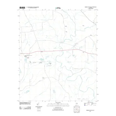
2011 Map of Marion Junction
USGS Topo · Published 2011About this map
The Cahaba River winds through this Central Alabama landscape, defining the topography south of Pernell. The settlement at Marion Junction serves as a primary focal point, anchored by the Marion Junction Post Office and the Marion Junction Community Cemetery. The area is notably dense with family-named burial grounds and small communities like Harrell, suggesting a deeply rooted agricultural and rural social structure.
Find a feature on this map
56 named features on this map. Tap any name to fly to it.
Don’t see what you’re looking for? This feature index may not catch every label — zoom into the map to look around manually.
Map Details
Editions of this 2011 Marion Junction Map
This is the sole edition of this map. No revisions or reprints were ever made.
Other maps of this area

1953 · Montgomery
USGS Topo · 1:250,000

1956 · Montgomery
USGS Topo · 1:250,000

1957 · Montgomery
USGS Topo · 1:250,000

1958 · Selma
USGS Topo · 1:62,500

1958 · Selma
USGS Topo · 1:24,000

1959 · Summerfield
USGS Topo · 1:62,500

1968 · Browns
USGS Topo · 1:24,000

1968 · Safford
USGS Topo · 1:24,000

1975 · Selma NW
USGS Topo · 1:24,000

1975 · Summerfield SW
USGS Topo · 1:24,000