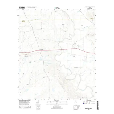
2014 Map of Marion Junction
USGS Topo · Published 2014About this map
The Cahaba River winds through the heart of this Black Belt landscape, defining the rural character of western Dallas County. The settlement of Marion Junction serves as a local hub near the western edge, where the Marion Junction Community Cem and Rasco Family Cem provide significant points of interest for genealogical research. Further north, the small community of Pernell sits near the Pernell Cem and the confluence of Oakmulgee Creek with the river.
Find a feature on this map
54 named features on this map. Tap any name to fly to it.
Don’t see what you’re looking for? This feature index may not catch every label — zoom into the map to look around manually.
Map Details
Editions of this 2014 Marion Junction Map
This is the sole edition of this map. No revisions or reprints were ever made.
Other maps of this area

1953 · Montgomery
USGS Topo · 1:250,000

1956 · Montgomery
USGS Topo · 1:250,000

1957 · Montgomery
USGS Topo · 1:250,000

1958 · Selma
USGS Topo · 1:62,500

1958 · Selma
USGS Topo · 1:24,000

1959 · Summerfield
USGS Topo · 1:62,500

1968 · Browns
USGS Topo · 1:24,000

1968 · Safford
USGS Topo · 1:24,000

1975 · Selma NW
USGS Topo · 1:24,000

1975 · Summerfield SW
USGS Topo · 1:24,000