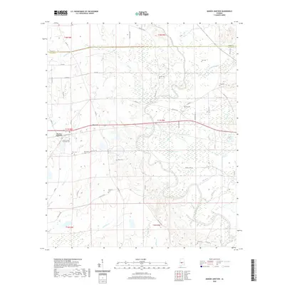
2020 Map of Marion Junction
USGS Topo · Published 2020About this map
Marion Junction sits at a historic crossroads in rural Dallas County, where the settlement pattern follows the meandering path of the Cahaba River and its many tributaries. The landscape is defined by its deep genealogical roots, evidenced by numerous family-named burial grounds including Craig Cem, Davis Cem, and Rasco Cem. These small cemeteries are scattered across the terrain from the vicinity of Harrell to the banks of Oakmulgee Creek, marking the homesteads of early residents.
Find a feature on this map
56 named features on this map. Tap any name to fly to it.
Don’t see what you’re looking for? This feature index may not catch every label — zoom into the map to look around manually.
Map Details
Editions of this 2020 Marion Junction Map
This is the sole edition of this map. No revisions or reprints were ever made.
Other maps of this area

1953 · Montgomery
USGS Topo · 1:250,000

1956 · Montgomery
USGS Topo · 1:250,000

1957 · Montgomery
USGS Topo · 1:250,000

1958 · Selma
USGS Topo · 1:62,500

1958 · Selma
USGS Topo · 1:24,000

1959 · Summerfield
USGS Topo · 1:62,500

1968 · Browns
USGS Topo · 1:24,000

1968 · Safford
USGS Topo · 1:24,000

1975 · Selma NW
USGS Topo · 1:24,000

1975 · Summerfield SW
USGS Topo · 1:24,000