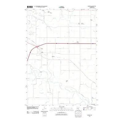
2010 Map of Marion
USGS Topo · Published 2010About this map
The North Branch Root River meanders through the southern half of this landscape, its path shaped by terrain features like Table Rock and Chance Hollow Hill. The 2010 geography is characterized by a high density of small, family-associated burial grounds, including the Ben Baer Farm Cemetery and the Walter McConnell Farm Cemetery, providing significant primary source material for genealogical research in this part of Olmsted County.
Find a feature on this map
55 named features on this map. Tap any name to fly to it.
Don’t see what you’re looking for? This feature index may not catch every label — zoom into the map to look around manually.
Map Details
Editions of this 2010 Marion Map
This is the sole edition of this map. No revisions or reprints were ever made.
Other maps of this area

1934 · Plainview
USGS Topo · 1:62,500

1935 · Rochester
USGS Topo · 1:48,000

1938 · Plainview
USGS Topo · 1:62,500

1939 · Rochester
USGS Topo · 1:62,500

1953 · Saint Paul
USGS Topo · 1:250,000

1954 · Chatfield
USGS Topo · 1:62,500

1954 · Mason City
USGS Topo · 1:250,000

1955 · Stewartville
USGS Topo · 1:62,500

1957 · Mason City
USGS Topo · 1:250,000

1958 · Mason City
USGS Topo · 1:250,000