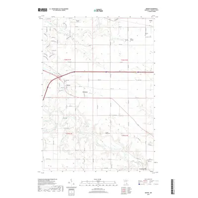
2019 Map of Marion
USGS Topo · Published 2019About this map
The N Br Root River and its various tributaries, including Kinney Cr and Badger Run, define the rolling landscape of Olmsted County in this contemporary survey. Small agricultural settlements like Marion and Predmore serve as local hubs, while Med-City Aviation indicates the area's connection to regional transportation. The map is particularly rich for genealogical research, identifying several family-named burial sites such as the Ben Baer Farm Cem and Walter McConnell Farm Cem that might be overlooked in broader records. Notable terrain features like Table Rock and Chance Hollow Hill offer a glimpse into the local topography that has shaped land use from the township's earliest days through the modern era. The transition from established town centers like Eyota to the rural south near Cummingsville illustrates the persisting rural character of this Minnesota region.
Find a feature on this map
77 named features on this map. Tap any name to fly to it.
Don’t see what you’re looking for? This feature index may not catch every label — zoom into the map to look around manually.
Map Details
Editions of this 2019 Marion Map
This is the sole edition of this map. No revisions or reprints were ever made.
Other maps of this area

1934 · Plainview
USGS Topo · 1:62,500

1935 · Rochester
USGS Topo · 1:48,000

1938 · Plainview
USGS Topo · 1:62,500

1939 · Rochester
USGS Topo · 1:62,500

1953 · Saint Paul
USGS Topo · 1:250,000

1954 · Chatfield
USGS Topo · 1:62,500

1954 · Mason City
USGS Topo · 1:250,000

1955 · Stewartville
USGS Topo · 1:62,500

1957 · Mason City
USGS Topo · 1:250,000

1958 · Mason City
USGS Topo · 1:250,000