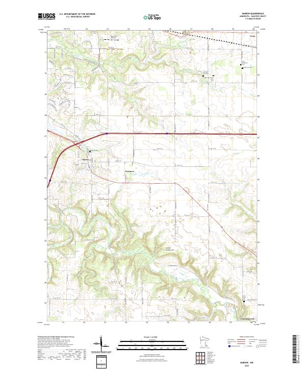
2022 Map of Marion
USGS Topo · Published 2022About this map
Marion and the surrounding Olmsted County countryside are defined by the winding course of the N Br Root River and its tributaries, including Kinney Cr and Bear Cr. The landscape transitions from the residential developments of Marion to the open agricultural lands of Eyota and Predmore. Of particular interest to family historians is the high density of small burial grounds, including family-named sites like the Ben Baer Farm Cem and the Walter McConnell Farm Cem, alongside larger community sites such as Oak Grove Cem and Holy Redeemer Cem. The terrain is characterized by distinctive elevations like Table Rock and Chance Hollow Hill, while the Chester Woods State Trl provides a corridor through the northeastern hills. These features illustrate the enduring rural character of the region as it appeared in the early 21st century.
Find a feature on this map
70 named features on this map. Tap any name to fly to it.
Don’t see what you’re looking for? This feature index may not catch every label — zoom into the map to look around manually.
Map Details
Editions of this 2022 Marion Map
This is the sole edition of this map. No revisions or reprints were ever made.
Other maps of this area

1934 · Plainview
USGS Topo · 1:62,500

1935 · Rochester
USGS Topo · 1:48,000

1938 · Plainview
USGS Topo · 1:62,500

1939 · Rochester
USGS Topo · 1:62,500

1953 · Saint Paul
USGS Topo · 1:250,000

1954 · Chatfield
USGS Topo · 1:62,500

1954 · Mason City
USGS Topo · 1:250,000

1955 · Stewartville
USGS Topo · 1:62,500

1957 · Mason City
USGS Topo · 1:250,000

1958 · Mason City
USGS Topo · 1:250,000