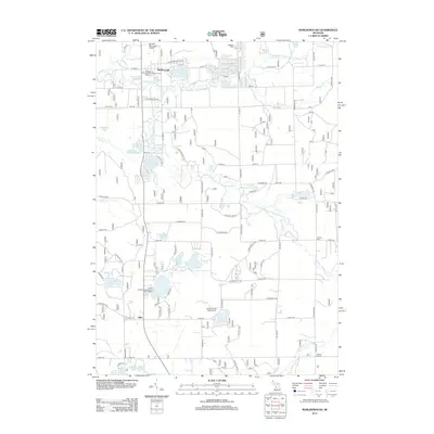
2012 Map of Marlborough
USGS Topo · Published 2012About this map
Middle Br Pere Marquette River and the Little S Br Pere Marquette River define the watery character of this landscape in Newaygo County. The map details a transition from the northern settlement of Marlborough down toward Lilley, where the local geography is punctuated by numerous glacial kettle lakes. These water bodies, including Pettibone Lake, Sisson Lake, and Houseman Lake, have historically served as focal points for seasonal recreation, as evidenced by established sites like the Pettibone Park Campground and Pickerel Lakeside Campground and Cottages.
Find a feature on this map
71 named features on this map. Tap any name to fly to it.
Don’t see what you’re looking for? This feature index may not catch every label — zoom into the map to look around manually.
Map Details
Editions of this 2012 Marlborough Map
This is the sole edition of this map. No revisions or reprints were ever made.
Other maps of this area

1931 · Baldwin NW
USGS Topo · 1:31,680

1931 · Baldwin NE
USGS Topo · 1:31,680

1932 · Chase NW
USGS Topo · 1:31,680

1954 · Midland
USGS Topo · 1:250,000

1958 · Midland
USGS Topo · 1:250,000

1958 · Woodville
USGS Topo · 1:62,500

1959 · Midland
USGS Topo · 1:250,000

1959 · Reed City
USGS Topo · 1:62,500

1959 · Baldwin
USGS Topo · 1:62,500

1959 · White Cloud
USGS Topo · 1:62,500