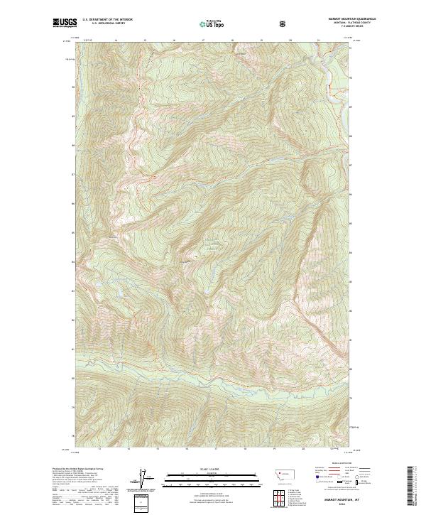
2024 Map of Marmot Mountain
USGS Topo · Published 2024About this map
Bob Marshall Wilderness and the Flathead National Forest dominate this landscape, where the Flathead Wild and Scenic River carves through the northeastern terrain. The map documents a complex system of mountain drainages, from Little Salmon Creek in the south to Black-bear Creek in the north. High elevations are marked by Marmot Mtn and Snow Peak, with prominent geologic features like Picture Ridge and Slick Rock defining the local relief.
Find a feature on this map
34 named features on this map. Tap any name to fly to it.
Don’t see what you’re looking for? This feature index may not catch every label — zoom into the map to look around manually.
Map Details
Editions of this 2024 Marmot Mountain Map
This is the sole edition of this map. No revisions or reprints were ever made.
Other maps of this area

1936 · Silvertip
USGS Topo · 1:96,000

1942 · Silvertip
USGS Topo · 1:125,000

1955 · Choteau
USGS Topo · 1:250,000

1957 · Choteau
USGS Topo · 1:250,000

1958 · Choteau
USGS Topo · 1:250,000

1962 · Choteau
USGS Topo · 1:250,000

1965 · Sunburst Lake
USGS Topo · 1:24,000
1965 · String Creek
USGS Topo · 1:24,000
1965 · Holland Peak
USGS Topo · 1:24,000

1970 · Big Salmon Lake East
USGS Topo · 1:24,000