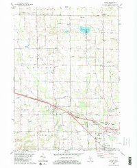
1980 Map of Marne
USGS Topo · Published 1980About this map
Marne and the surrounding township of Wright define this landscape during a period of steady suburban expansion west of Grand Rapids. The corridor is shaped by the parallel paths of the Grand Trunk Western railroad and the East Fork of Sand Creek, where the local community centered around landmarks like St Marys Ch and the Fairground. Educational infrastructure is well-represented, showing the transition from older sites like Walker Station Sch to modern facilities such as Kenowa Hills High Sch.
Find a feature on this map
56 named features on this map. Tap any name to fly to it.
Don’t see what you’re looking for? This feature index may not catch every label — zoom into the map to look around manually.
Map Details
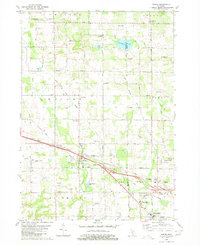
Editions of this 1980 Marne Map
2 editions found
Other maps of this area

1914 · Grand Rapids
USGS Topo · 1:62,500

1918 · Cedar Springs
USGS Topo · 1:62,500

1943 · Cedar Springs
USGS Topo · 1:62,500

1943 · Grand Rapids
USGS Topo · 1:62,500

1945 · Ravenna
USGS Topo · 1:62,500

1954 · Midland
USGS Topo · 1:250,000

1958 · Midland
USGS Topo · 1:250,000

1958 · Allendale
USGS Topo · 1:24,000

1958 · Grandville
USGS Topo · 1:62,500

1958 · Grandville
USGS Topo · 1:24,000