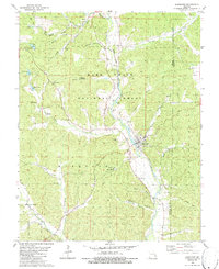
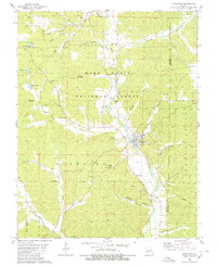
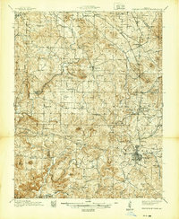
1980 Map of Marquand
USGS Topo · Published 1986About this map
The Castor River flows through this 1980s landscape, shaping the development of Marquand and the surrounding river-bottom communities. This survey documents a rural environment where timber and small-scale agriculture defined the local economy, evidenced by the extensive Mark Twain National Forest boundaries and scattered quarries. An Old Railroad Grade traces a path through the valley, marking the legacy of earlier transportation networks that once connected these Madison County settlements to wider markets.
Find a feature on this map
45 named features on this map. Tap any name to fly to it.
Don’t see what you’re looking for? This feature index may not catch every label — zoom into the map to look around manually.
Map Details
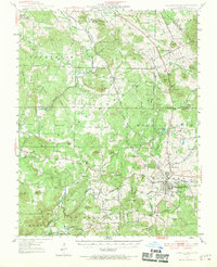
Editions of this 1980 Marquand Map
2 editions found
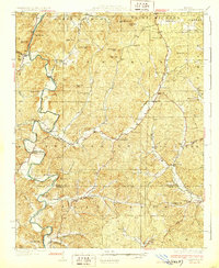
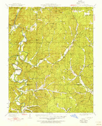
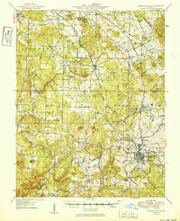
Other maps of this area

1910 · Higdon
USGS Topo · 1:62,500
1930 · Coldwater
USGS Topo · 1:62,500

1933 · Marquand
USGS Topo · 1:62,500
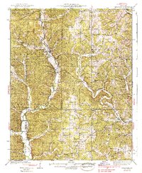
1938 · Marquand
USGS Topo · 1:62,500
1939 · Fredericktown
USGS Topo · 1:48,000
1947 · Fredericktown
USGS Topo · 1:62,500

1949 · Rolla
USGS Topo · 1:250,000
1949 · Coldwater
USGS Topo · 1:62,500
1950 · Fredericktown
USGS Topo · 1:62,500

1953 · Rolla
USGS Topo · 1:250,000