Loading...
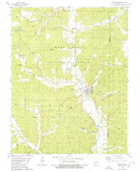
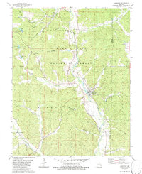
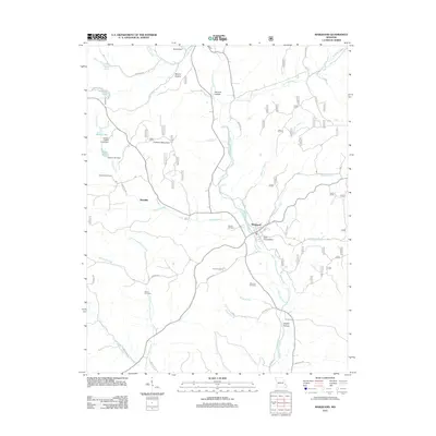
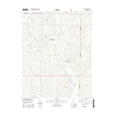
Loading map...1980 Map of Marquand
USGS Topo · Published 1980About this map
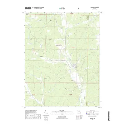
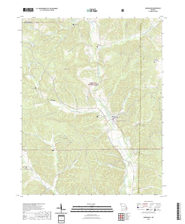
The Castor River winds through the heart of the Mark Twain National Forest, anchoring a landscape defined by steep hollows and small family settlements. In the center of the sheet, Marquand serves as the primary hub, where the river meets Dog Trot Hollow and the Old Railroad Grade traces a path through the valley. This 1980 survey captures the rural character of the Madison and Bollinger county line, where local life centered around remote congregations like Cornwall Ch, Rhodes Chapel, and Mountain View Ch.
Find a feature on this map
47 named features on this map. Tap any name to fly to it.
Don’t see what you’re looking for? This feature index may not catch every label — zoom into the map to look around manually.
Map Details
Date Portrayed1980
Date Published1980
PublisherU.S. Geological Survey
Map TypeTopographic
Scale1:24,000
Physical Dimensions21.9 x 26.8 inches
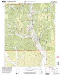
Editions of this 1980 Marquand Map
2 editions found
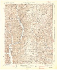
Historical Maps of Marquand Through Time
8 maps found

Featured Locations
Source Details
SourceU.S. Geological Survey
CopyrightPublic Domain