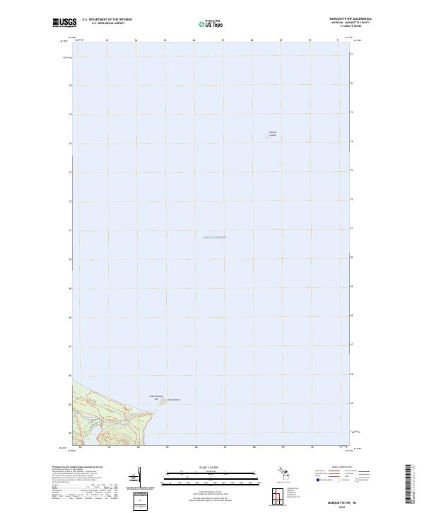
2023 Map of Marquette NW
USGS Topo · Published 2023About this map
Lake Superior dominates this 2023 survey, which documents the shoreline and offshore features of Marquette County. The map provides a detailed view of the coastal geography north of the city, highlighting Little Presque Isle and the more remote Granite Island to the northeast. Along the shoreline, Granite Point marks the transition from open water to the wooded interior where Harlow Creek flows toward the lake. This modern record by the U.S. Geological Survey shows the established recreational infrastructure of the area, including the North Country National Scenic Tr and the Harlow Lake Trail. These paths, alongside Co Rd 550, indicate how contemporary land use is centered on the natural coastline and public access to the lake's edge.
Find a feature on this map
12 named features on this map. Tap any name to fly to it.
Don’t see what you’re looking for? This feature index may not catch every label — zoom into the map to look around manually.
Map Details
Editions of this 2023 Marquette NW Map
This is the sole edition of this map. No revisions or reprints were ever made.
Other maps of this area

1907 · Marquette
USGS Topo · 1:62,500

1953 · Marquette NW
USGS Topo · 1:24,000

1953 · Negaunee
USGS Topo · 1:24,000
1954 · Marquette
USGS Topo · 1:24,000

1954 · Negaunee
USGS Topo · 1:62,500

1954 · Big Bay
USGS Topo · 1:62,500

1954 · Marquette
USGS Topo · 1:62,500

1958 · Marquette
USGS Topo · 1:250,000

1960 · Marquette
USGS Topo · 1:250,000

1961 · Marquette
USGS Topo · 1:250,000