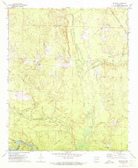
1971 Map of Marsden
USGS Topo · Published 1973About this map
The Ouachita River meanders through the southern portion of this landscape, defining a region of dense creek networks and prominent ridges. Settlement patterns in the early 1970s follow the higher ground, with the small community of Marsden situated near Mill Creek and McKenney located further east. Genealogy researchers will find several localized landmarks, including Lyons Cem, York Cem, and the uniquely named Cem Wearied Rest Ch.
Find a feature on this map
29 named features on this map. Tap any name to fly to it.
Don’t see what you’re looking for? This feature index may not catch every label — zoom into the map to look around manually.
Map Details
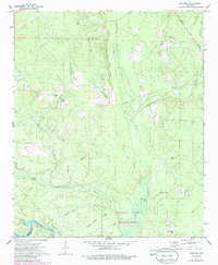
Editions of this 1971 Marsden Map
2 editions found
Other maps of this area

1933 · Strong
USGS Topo · 1:62,500

1934 · Ingalls
USGS Topo · 1:48,000

1934 · Felsenthal
USGS Topo · 1:62,500

1934 · Moro Bay
USGS Topo · 1:62,500

1937 · Strong
USGS Topo · 1:62,500

1937 · Felsenthal
USGS Topo · 1:62,500

1937 · Ingalls
USGS Topo · 1:62,500

1938 · Felsenthal
USGS Topo · 1:62,500

1938 · Moro Bay
USGS Topo · 1:62,500

1939 · Felsenthal
USGS Topo · 1:62,500