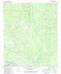
1971 Map of Marsden
USGS Topo · Published 1985About this map
The Ouachita River defines the southern reach of this landscape, winding along the boundary of the Felsenthal National Wildlife Refuge. This lowland territory is marked by a network of drainage systems including L'Aigle Creek, Halfway Creek, and Tulip Creek, which feed into the river basin's complex wetlands. The settlement of Marsden serves as a central point in an area defined by distinct ridges such as Sand Ridge and Garrett Ridge, which provided higher ground for homesteads and cemeteries.
Find a feature on this map
38 named features on this map. Tap any name to fly to it.
Don’t see what you’re looking for? This feature index may not catch every label — zoom into the map to look around manually.
Map Details
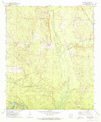
Editions of this 1971 Marsden Map
2 editions found
Other maps of this area

1933 · Strong
USGS Topo · 1:62,500

1934 · Ingalls
USGS Topo · 1:48,000

1934 · Felsenthal
USGS Topo · 1:62,500

1934 · Moro Bay
USGS Topo · 1:62,500

1937 · Strong
USGS Topo · 1:62,500

1937 · Felsenthal
USGS Topo · 1:62,500

1937 · Ingalls
USGS Topo · 1:62,500

1938 · Felsenthal
USGS Topo · 1:62,500

1938 · Moro Bay
USGS Topo · 1:62,500

1939 · Felsenthal
USGS Topo · 1:62,500