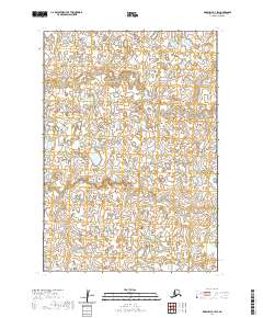
2020 Map of Marshall B-3 SW
USGS Topo · Published 2020About this map
Kuka Creek meanders through the marshy lowland terrain of this remote portion of the Bethel Census Area. The landscape is defined by an intricate network of wetlands and small ponds typical of the Yukon-Kuskokwim Delta, as mapped by the U.S. Geological Survey in the years following the 2016 SPOT imagery acquisition. This specific quadrangle covers the intersection of several townships, including t15n r77w and t14n r77w, revealing a landscape where natural watercourses are the primary geographical markers in an area largely devoid of permanent human infrastructure or road networks. The fine-grained contour data from the National Elevation Dataset provides a clear view of the subtle topographical changes across these vast alluvial plains.
Find a feature on this map
7 named features on this map. Tap any name to fly to it.
Don’t see what you’re looking for? This feature index may not catch every label — zoom into the map to look around manually.
Map Details
Editions of this 2020 Marshall B-3 SW Map
This is the sole edition of this map. No revisions or reprints were ever made.
Other maps of this area

1951 · Marshall
USGS Topo · 1:250,000

1954 · Marshall B-4
USGS Topo · 1:63,360

1954 · Marshall B-3
USGS Topo · 1:63,360

1954 · Marshall A-3
USGS Topo · 1:63,360
1954 · Marshall A-4
USGS Topo · 1:63,360

1954 · Marshall
USGS Topo · 1:250,000
2018 · Marshall A-3 NE
USGS Topo · 1:25,000
2018 · Marshall B-3 NE
USGS Topo · 1:25,000
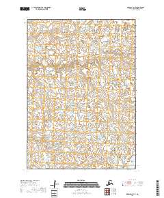
2018 · Marshall B-3 SE
USGS Topo · 1:25,000
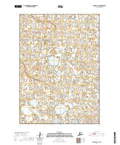
2020 · Marshall A-4 NE
USGS Topo · 1:25,000