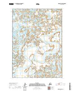
2020 Map of Marshall B-8 SW
USGS Topo · Published 2020About this map
Manokinak River winds extensively through this coastal wetland region within the Kusilvak Census Area. The map captures the complex, braided hydrology of the Alaskan tundra, where land and water merge into a dense pattern of ponds, sloughs, and marshland. Surveyed by the U.S. Geological Survey using 2016 satellite imagery, the data reflects the shifting nature of these western Alaska waterways. This uninhabited expanse is primarily defined by its public land designations, including the townships of t14n r88w and t14n r87w, which delineate the vast wilderness where few permanent structures or roads exist. The map serves as a vital record of the river's course and the surrounding National Wetlands Inventory data in an era of changing Arctic landscapes.
Find a feature on this map
7 named features on this map. Tap any name to fly to it.
Don’t see what you’re looking for? This feature index may not catch every label — zoom into the map to look around manually.
Map Details
Editions of this 2020 Marshall B-8 SW Map
This is the sole edition of this map. No revisions or reprints were ever made.
Other maps of this area

1951 · Marshall
USGS Topo · 1:250,000

1951 · Hooper Bay
USGS Topo · 1:250,000

1953 · Hooper Bay
USGS Topo · 1:250,000
1953 · Hooper Bay B-1
USGS Topo · 1:63,360
1953 · Marshall B-8
USGS Topo · 1:63,360
1954 · Marshall A-8
USGS Topo · 1:63,360

1954 · Marshall
USGS Topo · 1:250,000
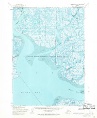
1954 · Hooper Bay A-1
USGS Topo · 1:63,360

1964 · Hooper Bay
USGS Topo · 1:250,000
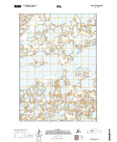
2020 · Marshall B-8 NE
USGS Topo · 1:25,000