
1954 Map of Marshall
USGS Topo · Published 1966About this map
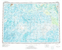
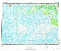
The Yukon River carves through the northern landscape of this mid-century survey, creating a complex network of sloughs and bends near the settlement of Marshall (Fortuna Ledge PO). The map details a transition from the elevated Kuzitvak Mountains down to the watery expanse of the Clarence Rhode National Wildlife Range. Here, the terrain is defined by a dense labyrinth of lakes and rivers, including the massive Aropuk Lake and the winding Black River.
Find a feature on this map
50 named features on this map. Tap any name to fly to it.
Don’t see what you’re looking for? This feature index may not catch every label — zoom into the map to look around manually.
Map Details
Editions of this 1954 Marshall Map
3 editions found
Other maps of this area

1947 · Russian Mission
USGS Topo · 1:250,000

1950 · Russian Mission
USGS Topo · 1:250,000

1950 · Bethel
USGS Topo · 1:250,000

1951 · Marshall
USGS Topo · 1:250,000

1951 · Hooper Bay
USGS Topo · 1:250,000

1951 · Nunivak Island
USGS Topo · 1:250,000

1951 · Black
USGS Topo · 1:250,000

1951 · Holy Cross
USGS Topo · 1:250,000

1951 · Baird Inlet
USGS Topo · 1:250,000

1952 · Kwiguk
USGS Topo · 1:250,000