
1974 Map of Marshall West
USGS Topo · Published 1977About this map
Skeleton Oil Field and Flynn Oil Field dominate the undulating landscape of this Garfield County quadrangle, where the mid-1970s energy economy is mapped in detail. The terrain is defined by the winding course of Skeleton Creek and its many tributaries, including Bitter Creek and Wolf Creek, which carve through the plains. The town of Marshall serves as the primary settlement, situated in the southeastern corner where the Atchison Topeka and Santa Fe railroad line runs north-south, providing a vital link for local agriculture and industry. Genealogical researchers will find the IOOF Cem north of town particularly significant. The map documents an intensive extraction landscape, marked by dozens of Oil Wells and several Gravel Pits, illustrating the intersection of natural waterways and industrial development at the triple border of Garfield, Logan, and Kingfisher counties.
Find a feature on this map
21 named features on this map. Tap any name to fly to it.
Don’t see what you’re looking for? This feature index may not catch every label — zoom into the map to look around manually.
Map Details
Editions of this 1974 Marshall West Map
This is the sole edition of this map. No revisions or reprints were ever made.
Other maps of this area

1893 · Lovell
USGS Topo · 1:62,500

1893 · Hennessey
USGS Topo · 1:62,500

1955 · Enid
USGS Topo · 1:250,000

1956 · Garber
USGS Topo · 1:62,500

1956 · Hennessey
USGS Topo · 1:62,500

1956 · Enid
USGS Topo · 1:62,500

1958 · Enid
USGS Topo · 1:250,000

1974 · Marshall East
USGS Topo · 1:24,000
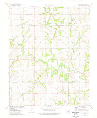
1974 · Bridge Creek
USGS Topo · 1:24,000
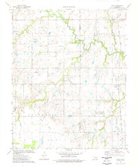
1974 · Lovell
USGS Topo · 1:24,000