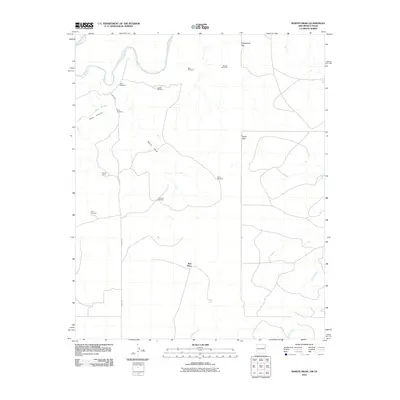
2010 Map of Martin Draw
USGS Topo · Published 2010About this map
The Canadian River cuts through the northwest corner of this high plains landscape, defined by dramatic terrain breaks such as Rana Canyon and Rana Arroyo. This region of Quay County is characterized by its reliance on subterranean water, evidenced by a network of named landmarks including Smithers Windmill, Sissy Windmill, and Rats Windmill. These features serve as vital markers across a ranching environment where the Howdy Ranch and the localized Rain Place represent the sparse human footprint.
Find a feature on this map
18 named features on this map. Tap any name to fly to it.
Don’t see what you’re looking for? This feature index may not catch every label — zoom into the map to look around manually.
Map Details
Editions of this 2010 Martin Draw Map
This is the sole edition of this map. No revisions or reprints were ever made.
Other maps of this area

1954 · Tucumcari
USGS Topo · 1:250,000

1958 · Tucumcari
USGS Topo · 1:250,000

1966 · Moser Ranch
USGS Topo · 1:24,000

1966 · Signal Spring
USGS Topo · 1:24,000

1966 · Trujillo Camp
USGS Topo · 1:24,000

1968 · Blue Hole
USGS Topo · 1:24,000

1968 · Bard
USGS Topo · 1:24,000

1968 · Glenrio
USGS Topo · 1:24,000

1968 · Cammak Camp
USGS Topo · 1:24,000

1968 · Sanchez Springs
USGS Topo · 1:24,000