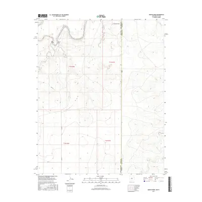
2017 Map of Martin Draw
USGS Topo · Published 2017About this map
Canadian River winds through the northern portion of this landscape, carving a deep path near the intersection of Martin Draw and Rana Canyon. This 2017 survey documents the rugged high-plains terrain where New Mexico meets the Texas Panhandle, a region defined by dramatic breaks and draws. The map illustrates the topographical significance of geographic crossings like Stagecoach Gap and Texas Gap, which historically facilitated movement through the escarpment. Local travel is marked by rural corridors such as Quay Rd E and Q R 69, serving the scattered ranchlands of Quay County. Further south, the intermittent drainage of Trujillo Cr reflects the arid hydrology of the Llano Estacado borderlands, where water management and terrain-dictated transport routes have long shaped human presence.
Find a feature on this map
16 named features on this map. Tap any name to fly to it.
Don’t see what you’re looking for? This feature index may not catch every label — zoom into the map to look around manually.
Map Details
Editions of this 2017 Martin Draw Map
This is the sole edition of this map. No revisions or reprints were ever made.
Other maps of this area

1954 · Tucumcari
USGS Topo · 1:250,000

1958 · Tucumcari
USGS Topo · 1:250,000

1966 · Moser Ranch
USGS Topo · 1:24,000

1966 · Signal Spring
USGS Topo · 1:24,000

1966 · Trujillo Camp
USGS Topo · 1:24,000

1968 · Blue Hole
USGS Topo · 1:24,000

1968 · Bard
USGS Topo · 1:24,000

1968 · Glenrio
USGS Topo · 1:24,000

1968 · Cammak Camp
USGS Topo · 1:24,000

1968 · Sanchez Springs
USGS Topo · 1:24,000