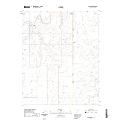
2023 Map of Martin Draw
USGS Topo · Published 2023About this map
The Canadian River winds through this borderland where the high plains of Quay County meet the Texas state line. This landscape is defined by its dramatic topographic breaks, most notably at Texas Gap and Stagecoach Gap, where the terrain transitions between mesas and the river basin. Drainage systems such as Martin Draw, Rana Canyon, and Rana Arroyo carve through the earth, illustrating the erosive power of seasonal water in this arid environment. The map details the modern rural infrastructure of the early 21st century, including the grid of local roads like Quay Rd E and Q R 69 that serve the outlying ranch lands. In the southeast corner, Trujillo Creek provides another primary watercourse, marking the descent from the elevated plains toward the river valley below.
Find a feature on this map
17 named features on this map. Tap any name to fly to it.
Don’t see what you’re looking for? This feature index may not catch every label — zoom into the map to look around manually.
Map Details
Editions of this 2023 Martin Draw Map
This is the sole edition of this map. No revisions or reprints were ever made.
Other maps of this area

1954 · Tucumcari
USGS Topo · 1:250,000

1958 · Tucumcari
USGS Topo · 1:250,000

1966 · Moser Ranch
USGS Topo · 1:24,000

1966 · Signal Spring
USGS Topo · 1:24,000

1966 · Trujillo Camp
USGS Topo · 1:24,000

1968 · Blue Hole
USGS Topo · 1:24,000

1968 · Bard
USGS Topo · 1:24,000

1968 · Glenrio
USGS Topo · 1:24,000

1968 · Cammak Camp
USGS Topo · 1:24,000

1968 · Sanchez Springs
USGS Topo · 1:24,000