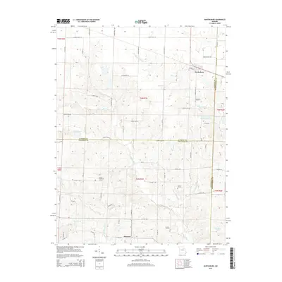
2015 Map of Martinsburg
USGS Topo · Published 2015About this map
Martinsburg and Shamrock anchor this rural landscape in northeastern Missouri, situated at the junction where Audrain, Callaway, and Montgomery counties converge. The terrain is defined by the winding course of the Loutre River and its tributaries, including Little Loutre Cr and Bachelor Cr, which drain the rolling farmland. This survey reveals a community-focused geography, where family and local history are preserved in sites like Martinsburg Cemetery, Chatman Cemetery, and Sawyers Cemetery.
Find a feature on this map
68 named features on this map. Tap any name to fly to it.
Don’t see what you’re looking for? This feature index may not catch every label — zoom into the map to look around manually.
Map Details
Editions of this 2015 Martinsburg Map
This is the sole edition of this map. No revisions or reprints were ever made.
Other maps of this area

1890 · Mexico
USGS Topo · 1:125,000

1890 · Fulton
USGS Topo · 1:125,000

1928 · Fulton
USGS Topo · 1:62,500

1931 · Fulton
USGS Topo · 1:62,500

1932 · Mexico
USGS Topo · 1:62,500

1940 · Montgomery City
USGS Topo · 1:62,500

1942 · Montgomery City
USGS Topo · 1:62,500

1942 · Wellsville
USGS Topo · 1:62,500

1948 · Quincy
USGS Topo · 1:250,000

1949 · Saint Louis
USGS Topo · 1:250,000