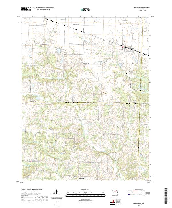
2021 Map of Martinsburg
USGS Topo · Published 2021About this map
Martinsburg and the rural community of Shamrock define the landscape of this region where three Missouri counties—Audrain, Callaway, and Montgomery—converge. The terrain is characterized by the branching drainages of the Loutre River and Little Loutre Cr, which carve through the agricultural tablelands of north-central Missouri. For genealogists and local historians, several small burial sites are documented across the rural landscape, including Martinsburg Cem, Chatman Cem, and Sawyers Cem. In the north, the Marshall Diggs Wildlife Area surrounds a local lake, while the south is marked by the presence of the Flying Shamrock Airport. The extensive network of county roads, such as Audrain Road 724 and State Hwy U, provides a detailed look at the rural property divisions and the connections between isolated farmsteads and these small town centers.
Find a feature on this map
68 named features on this map. Tap any name to fly to it.
Don’t see what you’re looking for? This feature index may not catch every label — zoom into the map to look around manually.
Map Details
Editions of this 2021 Martinsburg Map
This is the sole edition of this map. No revisions or reprints were ever made.
Other maps of this area

1890 · Mexico
USGS Topo · 1:125,000

1890 · Fulton
USGS Topo · 1:125,000

1928 · Fulton
USGS Topo · 1:62,500

1931 · Fulton
USGS Topo · 1:62,500

1932 · Mexico
USGS Topo · 1:62,500

1940 · Montgomery City
USGS Topo · 1:62,500

1942 · Montgomery City
USGS Topo · 1:62,500

1942 · Wellsville
USGS Topo · 1:62,500

1948 · Quincy
USGS Topo · 1:250,000

1949 · Saint Louis
USGS Topo · 1:250,000