2023 Map of Martinsburg
USGS Topo · Published 2023About this map
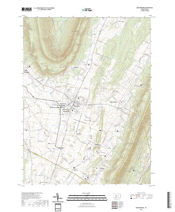
Morrisons Cove defines the central valley floor of this landscape, where the borough of Martinsburg serves as a primary hub of settlement and transit. The map reveals a dense network of family-named cemeteries and agricultural homesteads, including unique historical markers like the Edward Byers Grave Site and the Phillips Rangers Memorial. Industrial history is quietly preserved in names like Rebecca Furnace Cem, while the modern character of the valley is shaped by the Altoona/Blair County Airport and the residential expansion of Spring Drive Mobile Home Park. The terrain is strictly bounded by the parallel ridges of Lock Mountain and Tussey Mountain, which funnel development and drainage along Piney Creek and Clover Creek. This alignment illustrates the classic Ridge-and-Valley geography where transport routes like Martinsburg Junction historically connected these productive limestone valleys to larger rail networks.
Find a feature on this map
152 named features on this map. Tap any name to fly to it.
Don’t see what you’re looking for? This feature index may not catch every label — zoom into the map to look around manually.
Map Details
Editions of this 2023 Martinsburg Map
This is the sole edition of this map. No revisions or reprints were ever made.
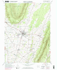
Historical Maps of North Woodbury Township Through Time
Featured Locations
- Taylor Township, PA
- Frankstown Township, PA
- Huston Township, PA
- Martinsburg, PA
- Martinsburg Junction, North Woodbury Township