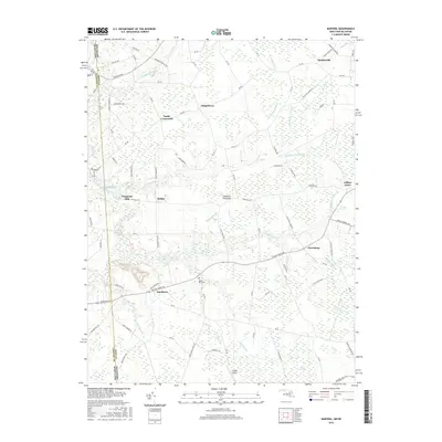
2016 Map of Marydel
USGS Topo · Published 2016About this map
The Delmarva Peninsula straddles the border of Maryland and Delaware in this 2016 survey, where the headwaters of the Choptank River begin their journey through the agricultural interior of Caroline Co and Kent County. The landscape is defined by an extensive network of drainage ditches and prongs, including Tappahanna Ditch, Culbreth Marsh Ditch, and Horsepen Ditch, which manage the low-lying terrain. Small, long-established crossroads communities such as Sandtown, Hazlettville, and Petersburg anchor the local road network, while Choptank Mills sits near the head of the river. Evidence of local aviation and rural life appears at Hrupsa Airport and the Mount Olive Cem, illustrating the mix of modern utility and historic genealogy found in this region of the Eastern Shore. The map captures the persistent rural character of the area, punctuated by landmarks like Mud Millpond and the Black Swamp.
Find a feature on this map
57 named features on this map. Tap any name to fly to it.
Don’t see what you’re looking for? This feature index may not catch every label — zoom into the map to look around manually.
Map Details
Editions of this 2016 Marydel Map
This is the sole edition of this map. No revisions or reprints were ever made.
Other maps of this area

1899 · Dover
USGS Topo · 1:125,000

1905 · Denton
USGS Topo · 1:62,500

1905 · Barclay
USGS Topo · 1:62,500

1906 · Dover
USGS Topo · 1:125,000

1918 · Harrington
USGS Topo · 1:62,500

1920 · Dover
USGS Topo · 1:125,000

1926 · Wyoming
USGS Topo · 1:48,000

1930 · Wyoming
USGS Topo · 1:62,500

1931 · Wyoming
USGS Topo · 1:62,500

1944 · Denton
USGS Topo · 1:31,680