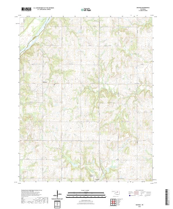
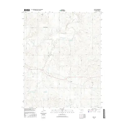
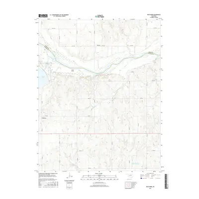
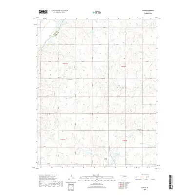
2022 Map of Masham
USGS Topo · Published 2022About this map
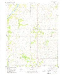
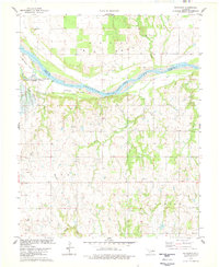
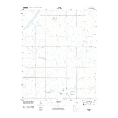
The Arkansas River defines the northwest corner of this landscape, marking the natural boundary between Osage Co and Pawnee Co. This interior region of Oklahoma is characterized by a dense network of creek systems including Skedee Creek, Coal Cr, and Mud Cr, which drain the rolling terrain south toward Feaster Lake and the Lower Black Bear Cr Site 3 Reservoir. The settlement of Masham serves as a local focal point, supported by the nearby Masham Cem, while the northern outskirts of Pawnee appear at the southern edge of the sheet.
Find a feature on this map
46 named features on this map. Tap any name to fly to it.
Don’t see what you’re looking for? This feature index may not catch every label — zoom into the map to look around manually.
Map Details
Editions of this 2022 Masham Map
This is the sole edition of this map. No revisions or reprints were ever made.
Historical Maps of Masham Through Time
30 maps found
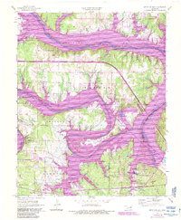
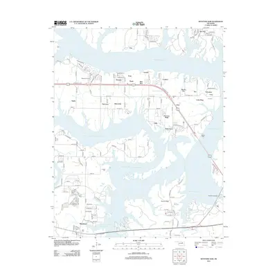
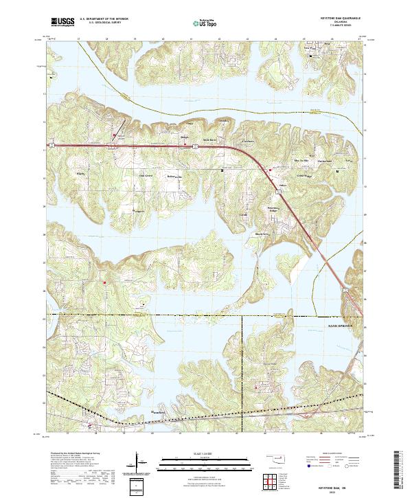
1958 Keystone Dam
Pawnee County, OK
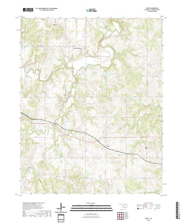
1978 Casey
Pawnee County, OK
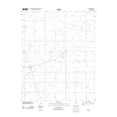
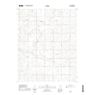
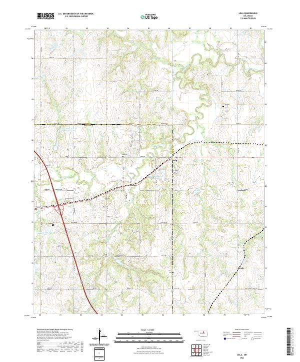
1978 Lela
Pawnee County, OK
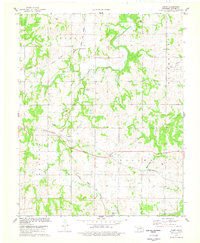
1978 Masham
Pawnee County, OK
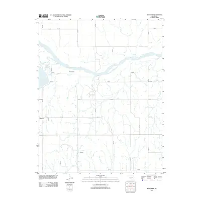
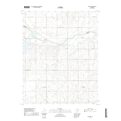
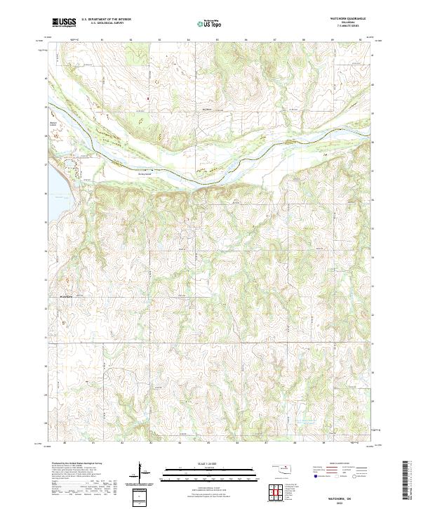
1978 Watchorn
Pawnee County, OK
2009 Casey
Pawnee County, OK
2009 Lela
Pawnee County, OK
2009 Masham
Pawnee County, OK
2009 Watchorn
Pawnee County, OK
2010 Keystone Dam
Pawnee County, OK
2012 Casey
Pawnee County, OK
2012 Keystone Dam
Pawnee County, OK
2012 Lela
Pawnee County, OK
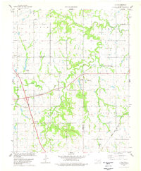
2012 Masham
Pawnee County, OK
2012 Watchorn
Pawnee County, OK
2016 Casey
Pawnee County, OK
2016 Keystone Dam
Pawnee County, OK
2016 Lela
Pawnee County, OK
2016 Masham
Pawnee County, OK
2016 Watchorn
Pawnee County, OK
2018 Casey
Pawnee County, OK
2018 Keystone Dam
Pawnee County, OK
2018 Lela
Pawnee County, OK
2018 Masham
Pawnee County, OK
2018 Watchorn
Pawnee County, OK
2022 Casey
Pawnee County, OK
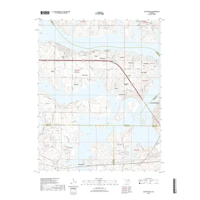
2022 Keystone Dam
Pawnee County, OK
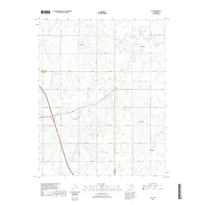
2022 Lela
Pawnee County, OK
2022 Masham
Pawnee County, OK
2022 Watchorn
Pawnee County, OK