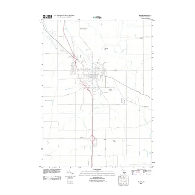
2011 Map of Mason
USGS Topo · Published 2011About this map
Mason serves as the central hub of this Ingham County landscape, where the confluence of several local waterways and a structured grid of country roads define the geography. The town is situated at a bend in Sycamore Creek, which meanders northward through the heart of the area. To the south, the smaller settlement of Eden sits near Eden Cemetery, illustrating the traditional pattern of rural Michigan hamlets clustered around local crossroads and burial grounds.
Find a feature on this map
67 named features on this map. Tap any name to fly to it.
Don’t see what you’re looking for? This feature index may not catch every label — zoom into the map to look around manually.
Map Details
Editions of this 2011 Mason Map
This is the sole edition of this map. No revisions or reprints were ever made.
Other maps of this area

1909 · Mason
USGS Topo · 1:62,500

1910 · Lansing
USGS Topo · 1:62,500

1911 · Mason
USGS Topo · 1:62,500

1912 · Lansing
USGS Topo · 1:62,500

1919 · Springport
USGS Topo · 1:62,500

1919 · Rives Junction
USGS Topo · 1:62,500

1921 · Rives Junction
USGS Topo · 1:62,500

1921 · Springport
USGS Topo · 1:62,500

1958 · Grand Rapids
USGS Topo · 1:250,000

1961 · Grand Rapids
USGS Topo · 1:250,000