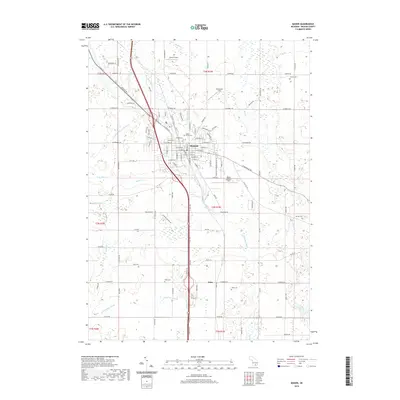
2019 Map of Mason
USGS Topo · Published 2019About this map
The city of Mason stands as a central hub in Ingham County, where a dense network of residential streets and civic centers meets the rural landscape of mid-Michigan. This modern survey illustrates how the community is organized around waterways like Sycamore Creek and the Aurelius and Vevay Drain, while maintaining aviation facilities such as Mason Jewett Field. To the south, the settlement of Eden sits near the crossing of Sycamore Creek, surrounded by farmland and a series of agricultural drains including the Hazelton Drain and Talmadge Drain.
Find a feature on this map
105 named features on this map. Tap any name to fly to it.
Don’t see what you’re looking for? This feature index may not catch every label — zoom into the map to look around manually.
Map Details
Editions of this 2019 Mason Map
This is the sole edition of this map. No revisions or reprints were ever made.
Other maps of this area

1909 · Mason
USGS Topo · 1:62,500

1910 · Lansing
USGS Topo · 1:62,500

1911 · Mason
USGS Topo · 1:62,500

1912 · Lansing
USGS Topo · 1:62,500

1919 · Springport
USGS Topo · 1:62,500

1919 · Rives Junction
USGS Topo · 1:62,500

1921 · Rives Junction
USGS Topo · 1:62,500

1921 · Springport
USGS Topo · 1:62,500

1958 · Grand Rapids
USGS Topo · 1:250,000

1961 · Grand Rapids
USGS Topo · 1:250,000