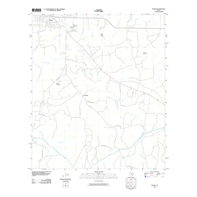
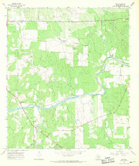
2010 Map of Mason
USGS Topo · Published 2010About this map
The town of Mason, Texas, serves as the primary hub on this central Texas landscape, where several key regional thoroughfares converge near the banks of Comanche Creek. To the south, the settlement of Grossville is reached via Grossville School Rd, reflecting the area's rural development patterns. The topography is defined by the significant corridor of the Llano River in the southern portion of the quadrangle, which is fed by numerous tributaries including Rock Creek and Peters Creek. Prominent landmarks such as Todd Mountain and Jordan Mountain rise above the drainage basins, while the Mason County Airport sits north of Hog Branch. This 2010 survey documents the modern road network, including the diagonal path of Highway 87 as it connects the county seat with the outlying ranching and farming communities of the Edwards Plateau.
Find a feature on this map
30 named features on this map. Tap any name to fly to it.
Don’t see what you’re looking for? This feature index may not catch every label — zoom into the map to look around manually.
Map Details
Editions of this 2010 Mason Map
This is the sole edition of this map. No revisions or reprints were ever made.
Other maps of this area

1887 · Mason
USGS Topo · 1:125,000

1894 · Mason
USGS Topo · 1:125,000

1954 · Llano
USGS Topo · 1:250,000

1955 · Llano
USGS Topo · 1:250,000

1956 · Llano
USGS Topo · 1:250,000

1962 · Purdy Hill
USGS Topo · 1:24,000
1962 · Fly Gap
USGS Topo · 1:24,000
1967 · Loyal Valley
USGS Topo · 1:24,000
1967 · Panther Creek
USGS Topo · 1:24,000
1967 · Art
USGS Topo · 1:24,000