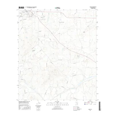
2016 Map of Mason
USGS Topo · Published 2016About this map
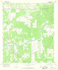
Mason sits at the northern edge of this Hill Country landscape, where established grid-pattern streets like San Antonio St and Austin St give way to the winding drainage networks of the Edwards Plateau. The southern portion of the area is dominated by the broad course of the Llano River, which is fed by numerous tributaries including Comanche Cr and Rock Cr. This 2016 survey illustrates the intersection of traditional Texas ranching country and modern infrastructure, shown through the proximity of family-named landmarks like Jordan Mtn and Todd Mtn to the Mason County Airport. The transition from the town center out into the drainage basins reveals a classic Texas land-use pattern, with arterial roads like Ranch Rd 1723 and Centennial Springs Rd providing access to the more topographically varied river valley.
Find a feature on this map
59 named features on this map. Tap any name to fly to it.
Don’t see what you’re looking for? This feature index may not catch every label — zoom into the map to look around manually.
Map Details
Editions of this 2016 Mason Map
This is the sole edition of this map. No revisions or reprints were ever made.
Other maps of this area

1887 · Mason
USGS Topo · 1:125,000

1894 · Mason
USGS Topo · 1:125,000

1954 · Llano
USGS Topo · 1:250,000

1955 · Llano
USGS Topo · 1:250,000

1956 · Llano
USGS Topo · 1:250,000

1962 · Purdy Hill
USGS Topo · 1:24,000
1962 · Fly Gap
USGS Topo · 1:24,000
1967 · Loyal Valley
USGS Topo · 1:24,000
1967 · Panther Creek
USGS Topo · 1:24,000
1967 · Art
USGS Topo · 1:24,000