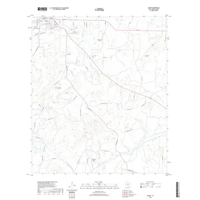
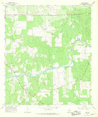
2019 Map of Mason
USGS Topo · Published 2019About this map
Mason serves as the focal point of this Central Texas landscape, where the town's grid meets the branching tributaries of the Llano River. The geography is defined by significant elevations such as Jordan Mtn and Todd Mtn, while water sources like Hick Springs and Comanche Cr drain toward the river in the south. The road network reflects a ranching and rural economy, with long-established routes including Cow Trail Rd and Kettner-Willmann Rd threading through the valleys. Local aviation is noted at the Mason County Airport and the private Red Sands Ranch Airport further south. Many roads, such as Old Mill Creek Rd and Simonsville Rd, suggest the locations of early industries and vanished rural communities that once flourished along the creeks and springs of the region.
Find a feature on this map
67 named features on this map. Tap any name to fly to it.
Don’t see what you’re looking for? This feature index may not catch every label — zoom into the map to look around manually.
Map Details
Editions of this 2019 Mason Map
This is the sole edition of this map. No revisions or reprints were ever made.
Other maps of this area

1887 · Mason
USGS Topo · 1:125,000

1894 · Mason
USGS Topo · 1:125,000

1954 · Llano
USGS Topo · 1:250,000

1955 · Llano
USGS Topo · 1:250,000

1956 · Llano
USGS Topo · 1:250,000

1962 · Purdy Hill
USGS Topo · 1:24,000
1962 · Fly Gap
USGS Topo · 1:24,000
1967 · Loyal Valley
USGS Topo · 1:24,000
1967 · Panther Creek
USGS Topo · 1:24,000
1967 · Art
USGS Topo · 1:24,000